
DeDios
Guest
Good morning to all,
I wanted to ask you some advice about my new project in revit. I am a student of building engineering and architecture to address the most important project, i.e. my thesis project:
Well, the first step I have to face is the replica of the areophotogrammetric at 10000 of my commune, to then go to work specifically in some areas. one of the problems is that my municipality is completely surrounded by mountains, so there are many level lines, with sinks reaching almost 1000 meters (mountain zones), and the municipal area is really vast. the first thing I have to perform therefore is importing the dwg file, and creating the ground in the software. Unfortunately I do not have a super powerful machine (my specifications are a quadcore q6600 @2.40ghz, 4gb ram and a video card ati 5850). I have managed to create the entire land (among other things with great difficulties, and a great problem of performance).. and I fear it is a little unmanageable. how to manage the soil so complex? (between the top without having built anything we already pass the 100mb). I thought I'd take advantage of the "simplify surface" command, but I have no idea what parameter to give (I see that default is 0.076m), a 0.5-1m is a too little accurate value?
I have already realized that managing such a vast area will be a big problem if you need screens I will do them without problems.
thank you in advance, good day and good weekend to all! :smile:
disability
I wanted to ask you some advice about my new project in revit. I am a student of building engineering and architecture to address the most important project, i.e. my thesis project:
Well, the first step I have to face is the replica of the areophotogrammetric at 10000 of my commune, to then go to work specifically in some areas. one of the problems is that my municipality is completely surrounded by mountains, so there are many level lines, with sinks reaching almost 1000 meters (mountain zones), and the municipal area is really vast. the first thing I have to perform therefore is importing the dwg file, and creating the ground in the software. Unfortunately I do not have a super powerful machine (my specifications are a quadcore q6600 @2.40ghz, 4gb ram and a video card ati 5850). I have managed to create the entire land (among other things with great difficulties, and a great problem of performance).. and I fear it is a little unmanageable. how to manage the soil so complex? (between the top without having built anything we already pass the 100mb). I thought I'd take advantage of the "simplify surface" command, but I have no idea what parameter to give (I see that default is 0.076m), a 0.5-1m is a too little accurate value?
I have already realized that managing such a vast area will be a big problem
if you need screens I will do them without problems.thank you in advance, good day and good weekend to all! :smile:
disability


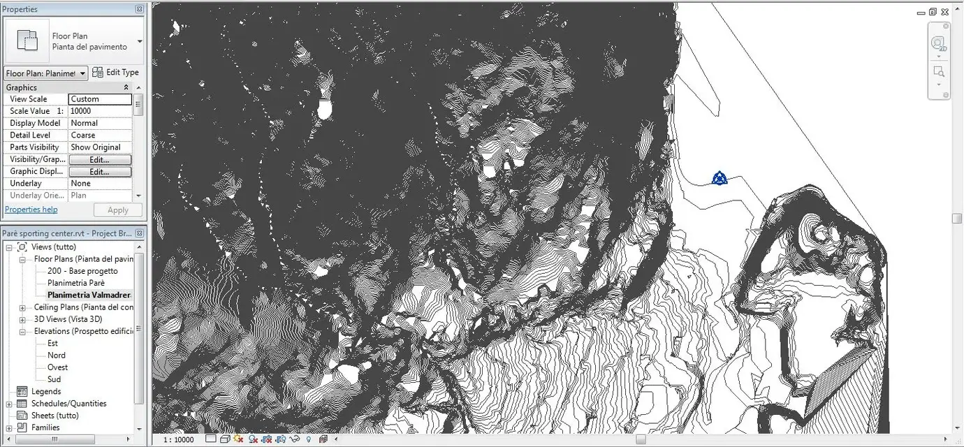
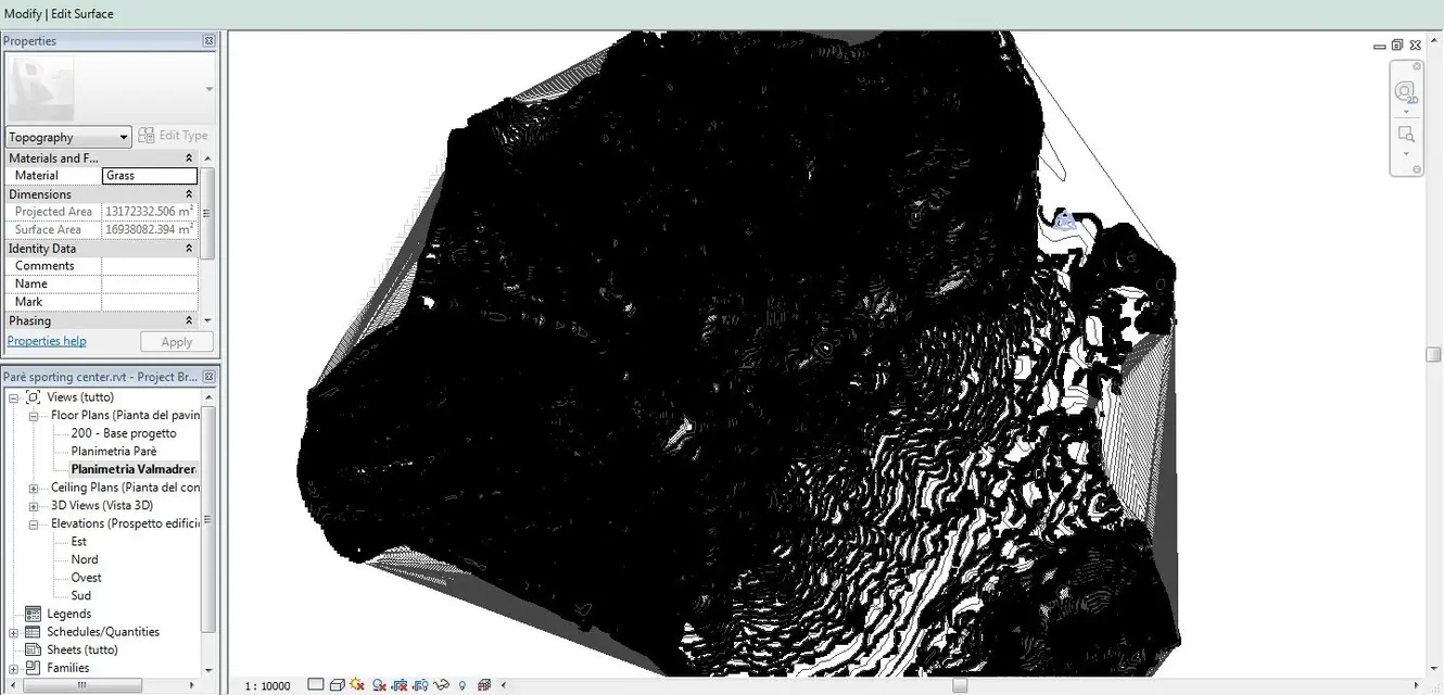
 because the division of the project into multiple rvt files seems very interesting. I tried to make some experiment "connecting" on the main file other rvt files of buildings, the problem is that the ground is not "forged" or otherwise modified once I apply a building.